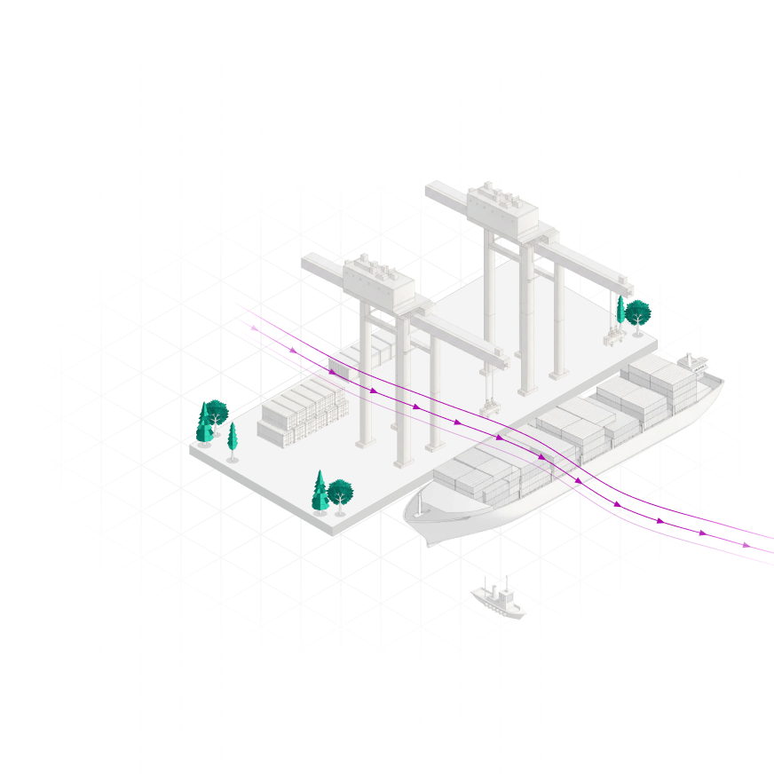
Quays, equipment and ships change the wind within meters. Capture those differences, so wind loads and sailing plans match local weather conditions.
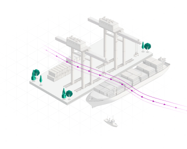
Ports are aerodynamically complex environments. Buildings, cranes, quay walls, breakwaters and vessels can create significant differences in wind speed, direction and turbulence over relatively short distances.
Yet engineering assessments often rely on measurements from a limited number of locations or wind conditions derived from flow engineering models. These may not adequately represent the exposure experienced at a particular berth, vessel or structure, introducing uncertainty into design and operational assessments.
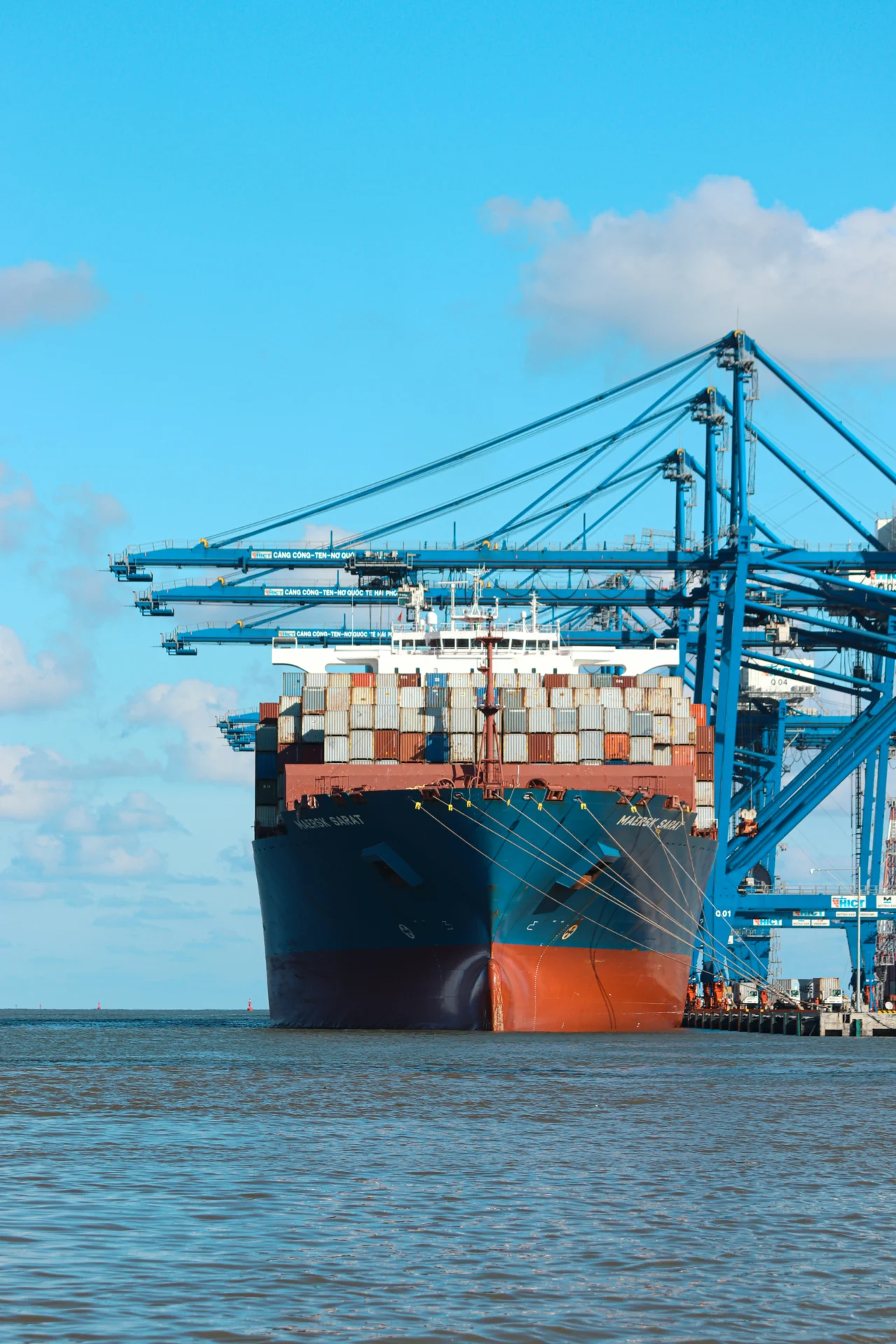
Explore how detailed, site-specific atmospheric data can support structural assessments, vessel mooring and wind-assisted propulsion.
Investigate how surrounding structures influence wind conditions around cranes, buildings, vessels and other port infrastructure. High-resolution wind and turbulence data support structural design, mooring-load calculations and operational assessments.
The effectiveness of wind-assisted propulsion depends on the wind experienced by the system, including how speed and direction vary with height. Detailed atmospheric modeling provides inputs for evaluating propulsion performance and investigating system configurations.
Choose how you want to use Whiffle for your project.
Work with our atmospheric scientists on bespoke simulations and studies for ports, harbors and maritime infrastructure.
Run the Whiffle Large-Eddy Simulation (LES) model on your own infrastructure, with control over simulation setup, scenarios and outputs.
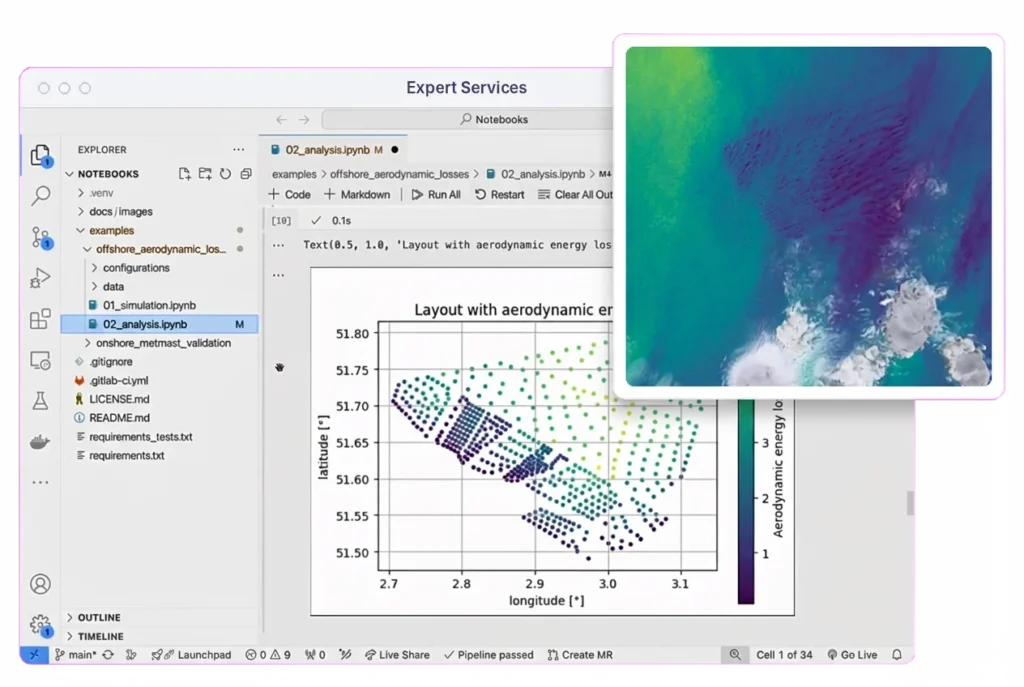
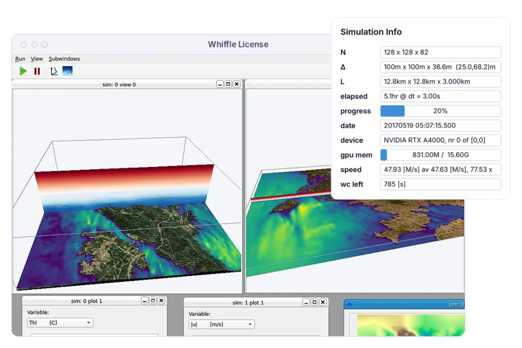
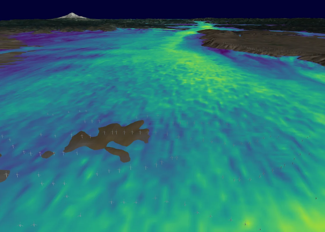
Whiffle combines full-physics LES with GPU-native computing to make detailed atmospheric modeling practical for maritime engineering, from port wind studies to vessel and mooring assessments.

Simulate local airflow under evolving weather conditions, accounting for changes in wind direction, atmospheric stability and vertical wind profiles rather than relying solely on idealized inflow conditions.

Resolve how vessels, cranes, buildings and quay walls influence local airflow, including turbulence and wind variations across complex port environments.

GPU-accelerated LES makes it feasible to investigate different weather conditions, port layouts and vessel configurations within engineering project timelines.
Whiffle's LES model can represent local wind flow and turbulence around vessels, buildings and port structures. The spatial resolution and level of geometric detail depend on the application and the scale of the features being investigated.
Yes. Different port layouts, infrastructure configurations and vessel positions can be modeled to investigate their influence on local wind conditions. This supports the comparison of design alternatives and operating scenarios.
Whiffle provides detailed atmospheric data that can serve as input for structural wind-load and mooring analyzes. The required outputs and any additional engineering calculations are determined by the project's scope and assessment methodology.
Yes. Simulations can be driven by historical weather conditions to investigate particular events or periods. Different wind and atmospheric conditions can also be assessed to understand how local flow varies across scenarios.
The approach depends on the application. Projects typically begin by defining the engineering question, area of interest, relevant geometry and required outputs. Whiffle's team then determines the appropriate simulation setup and modeling scope.
Whether you're assessing structural loads, mooring conditions or wind-assisted propulsion, tell us what you're trying to determine. We'll assess how Whiffle's atmospheric modeling can support the analysis.
Meter-scale weather simulation for the sectors where weather drives decisions.
Peer-reviewed papers and technical reports
Articles and perspectives from our team
Conferences, webinars and on-demand recordings
Technical guides for the Whiffle platform
Get help from our team
Atmospheric science and Whiffle news in your inbox
Explore simulations from wind farms to city streets