Account for terrain, vegetation and forest canopy effects to understand the local atmospheric conditions that matter for agricultural and forestry decisions.
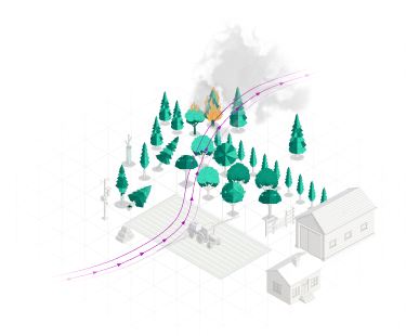
Regional weather forecasts and weather stations provide valuable information, but they cannot always capture the variations within individual fields, orchards and forests.
Local terrain details and atmospheric stability influence local wind, temperature, turbulence and the transport of airborne substances. These differences matter when evaluating spray drift, frost exposure, water demand and forest wind risk.
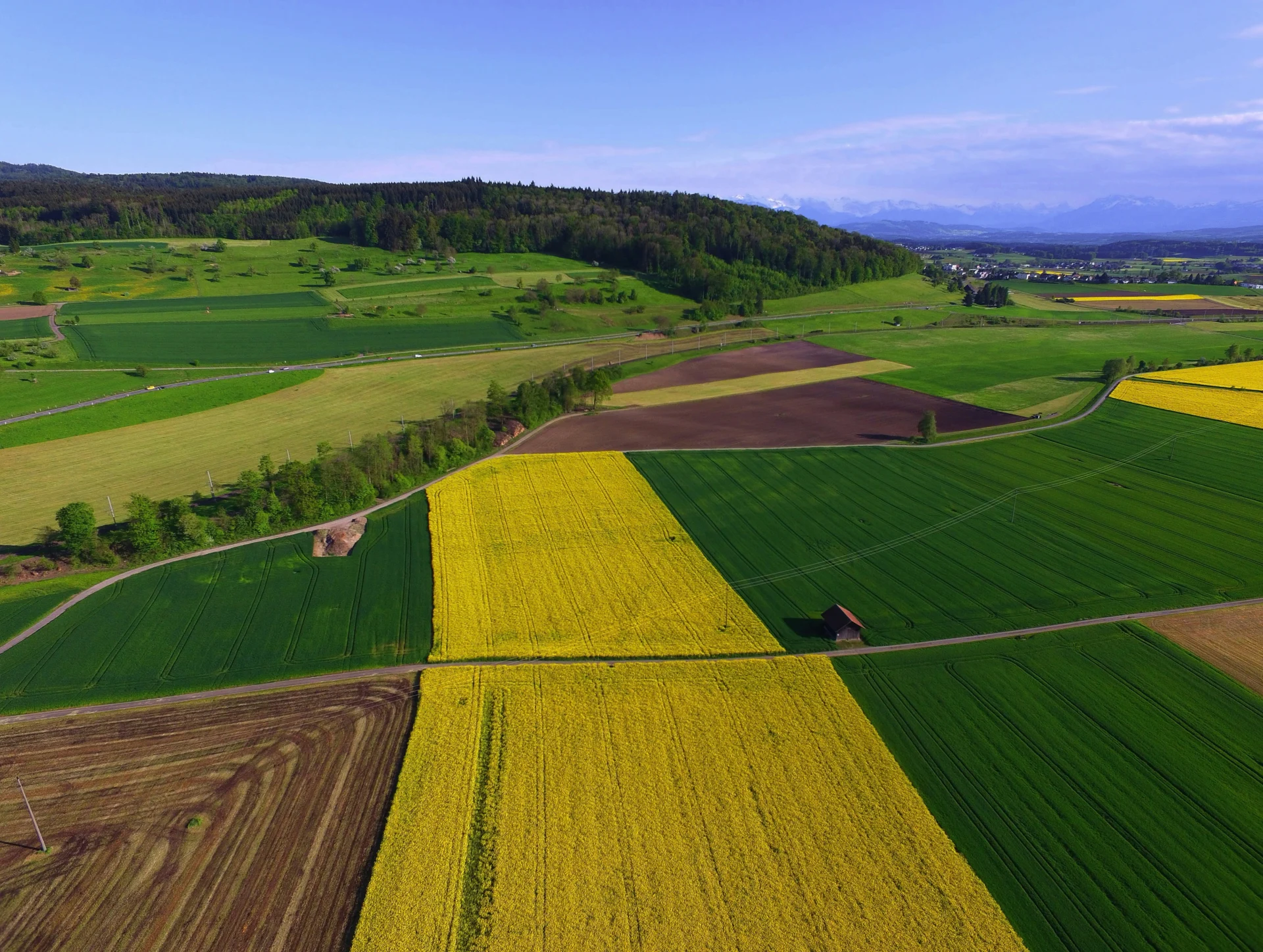
From day-to-day operations to longer-term planning, investigate how weather interacts with vegetation and terrain at the locations where it matters.
Provide spatially detailed atmospheric inputs including temperature, wind and humidity for spray and irrigation planning. Get insight into how conditions differ across fields rather than relying on coarse weather data.
Examine how terrain, shelter, local temperature and wind patterns vary across agricultural land. Use site-specific atmospheric information to support assessments of frost-prone areas and planting configurations.
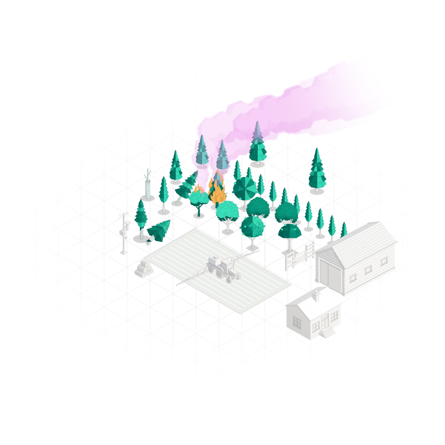
Simulate how wind, atmospheric stability, turbulent mixing and terrain influence the transport and dispersion of smoke and airborne substances. Explore potential downwind impacts under evolving weather conditions.
Investigate how canopy height, forest edges and terrain influence local wind speeds, gusts and turbulence. Compare wind exposure across different forest configurations to support forestry planning and risk assessments.
Whether you're investigating local airflow, studying atmospheric dispersion or analyzing historical conditions, Whiffle offers different ways to access atmospheric information.
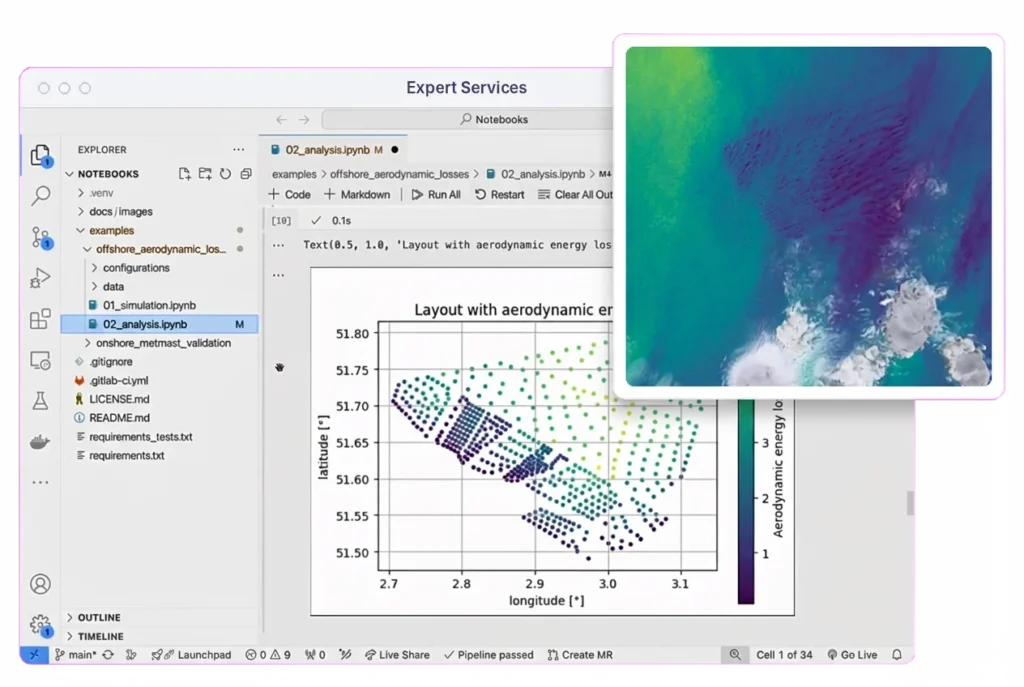
Work with Whiffle's atmospheric experts on bespoke studies of canopy flow, wind exposure, atmospheric dispersion and changes in land configuration.
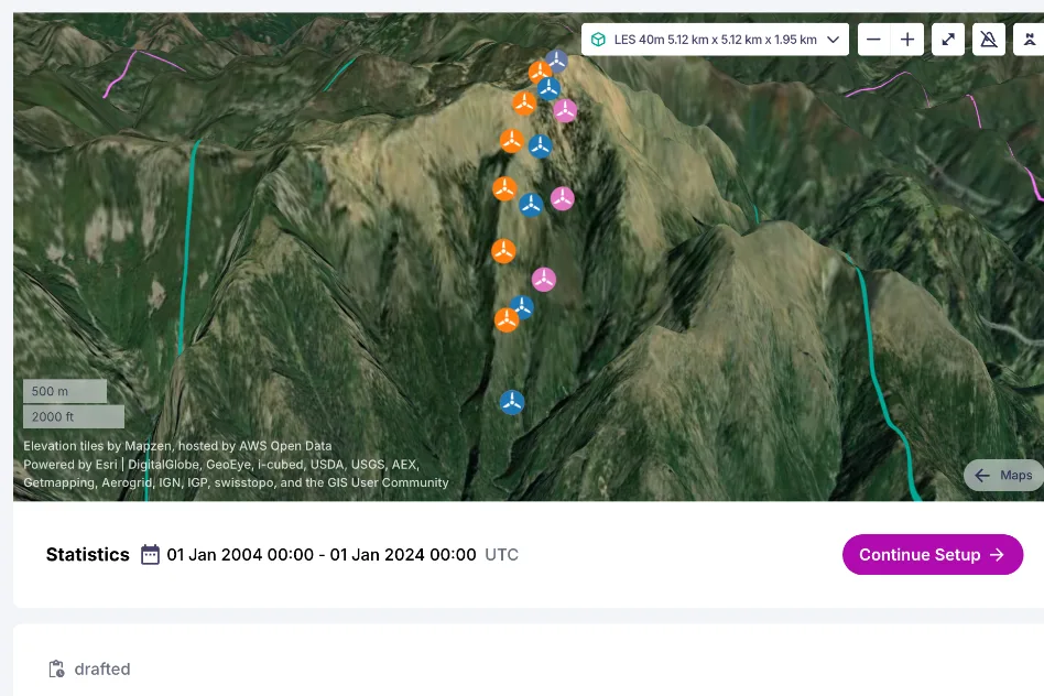
Access Whiffle's Large-Eddy Simulation (LES) modeling platform to run high-resolution atmospheric simulations and develop specialist applications.
Access long-term weather data for your land to support early-stage land assessments, environmental studies and agricultural or forestry research.
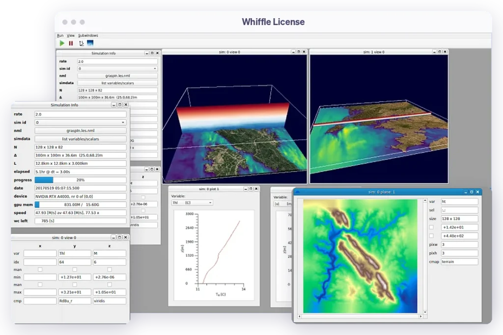
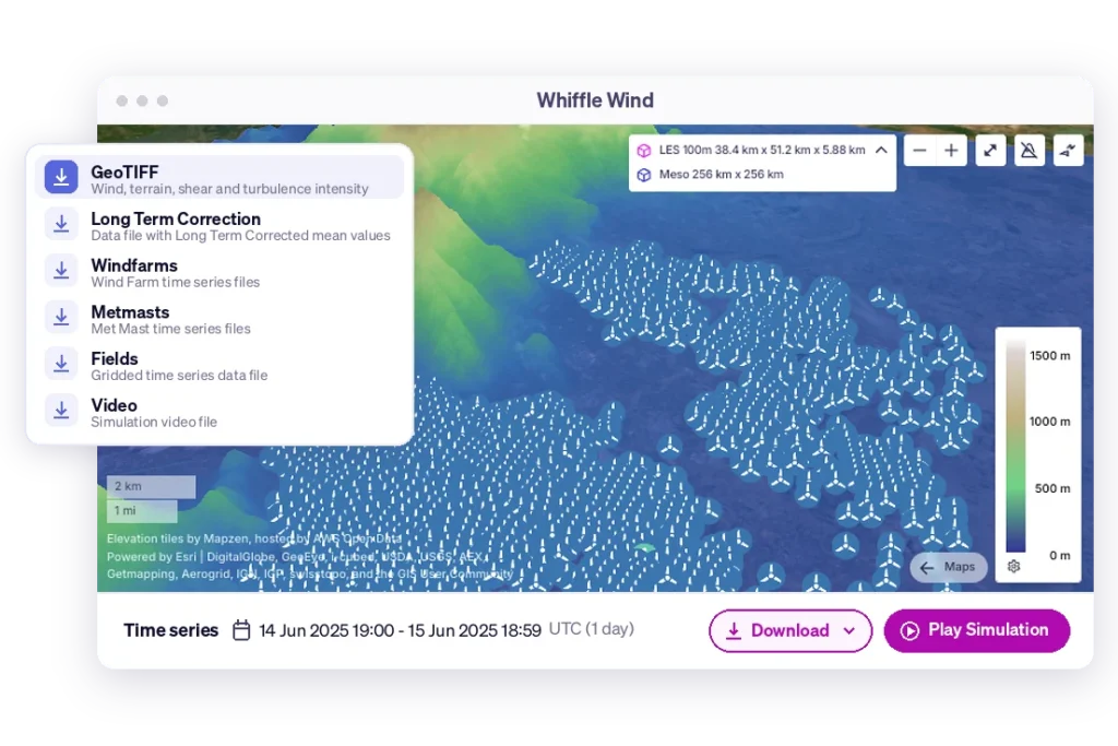
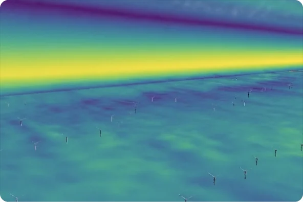
Regional weather models provide the larger atmospheric picture. Whiffle takes that information further, combining real-weather LES, meter-scale detail and GPU computing to simulate how changing weather interacts with terrain and vegetation.

Simulate turbulent airflow and atmospheric mixing within evolving weather conditions, including the effects of atmospheric stability on temperature, turbulence and the transport of airborne substances.

Capture how forest canopies, slopes, trees and hedgerows influence local wind exposure and turbulence, including effects that coarser weather models cannot explicitly resolve.

GPU-native computing makes computationally demanding LES practical across large areas and extended periods, enabling detailed atmospheric studies and comparisons of land-cover scenarios.
Whiffle represents the aerodynamic effects of vegetation on airflow and turbulence, using information about land cover and canopy characteristics. The level of detail depends on the available data and simulation configuration.
Yes. Whiffle's high-resolution LES model can capture variations in wind conditions within individual fields and across forested areas, including how terrain, trees and hedgerows influence local airflow and turbulence. The level of detail depends on the simulation resolution and the quality of the available terrain and vegetation data.
Whiffle can simulate atmospheric conditions and transport processes relevant to spray drift, including wind, turbulence and mixing. Application-specific droplet behavior and deposition may require additional modeling inputs.
Yes. Scenario simulations can investigate how changes in vegetation, forest clearings, trees and hedgerows affect local airflow and turbulence, subject to the available land-cover data.
No. Measurements remain valuable for observing and validating local conditions. LES complements them by providing spatial information between and beyond individual measurement locations.
Typically, the site location, terrain, land-cover and vegetation information, together with the atmospheric variables or scenarios you want to investigate. Additional inputs may be needed for specialized applications.
Tell us about your site and what you're trying to assess. We'll explore how Whiffle's atmospheric modeling can support your application.
Meter-scale weather simulation for the sectors where weather drives decisions.
Peer-reviewed papers and technical reports
Articles and perspectives from our team
Conferences, webinars and on-demand recordings
Technical guides for the Whiffle platform
Get help from our team
Atmospheric science and Whiffle news in your inbox
Explore simulations from wind farms to city streets