Simulate crosswinds, gusts and turbulence around runways and airport structures to support flight operations and infrastructure design. Explore how emissions disperse under changing weather conditions.
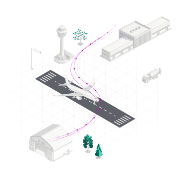
Weather observations and regional weather forecasts provide essential information for airport operations, but they cannot always capture how conditions vary around individual runways, aprons and terminals.
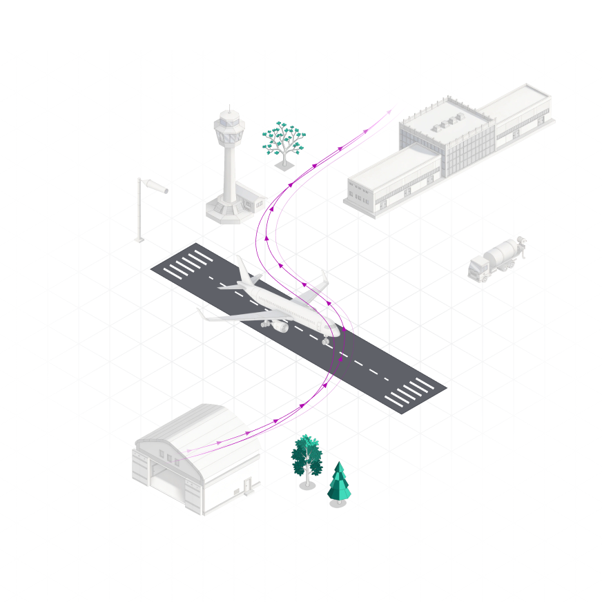
Surrounding terrain, terminals and hangars can alter local wind direction, turbulence and gusts. Atmospheric stability also influences how aircraft emissions and other airborne pollutants disperse.
These differences matter when evaluating runway conditions, air quality exposure or the effects of a proposed airport development.
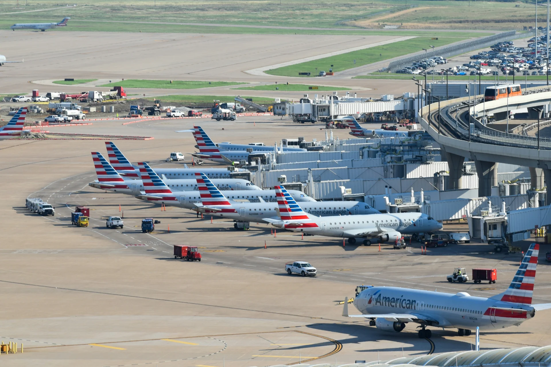
Capture how weather interacts with airport infrastructure to support specific engineering and operational decisions.
Simulate how emissions disperse around terminals, hangars and aprons under changing wind and atmospheric stability conditions, supporting assessments of ground-level concentrations and potential exposure hotspots.
Investigate how crosswinds, gusts and turbulence vary across operational areas, including the influence of nearby infrastructure and surrounding terrain.
Simulate how proposed terminals, hangars and other structures influence local airflow, turbulence and wind exposure to inform layout and design assessments.
Whether you're evaluating an airport development, investigating local wind conditions or studying emissions, Whiffle offers different ways to access its modeling capabilities.
Work with Whiffle's atmospheric experts on bespoke simulations, from infrastructure and wind-flow studies to emissions dispersion and extreme-weather assessments.
Deploy Whiffle's Large-Eddy Simulation (LES) model on supported GPU infrastructure to conduct simulations, test scenarios and integrate atmospheric modeling into your engineering or research workflows.
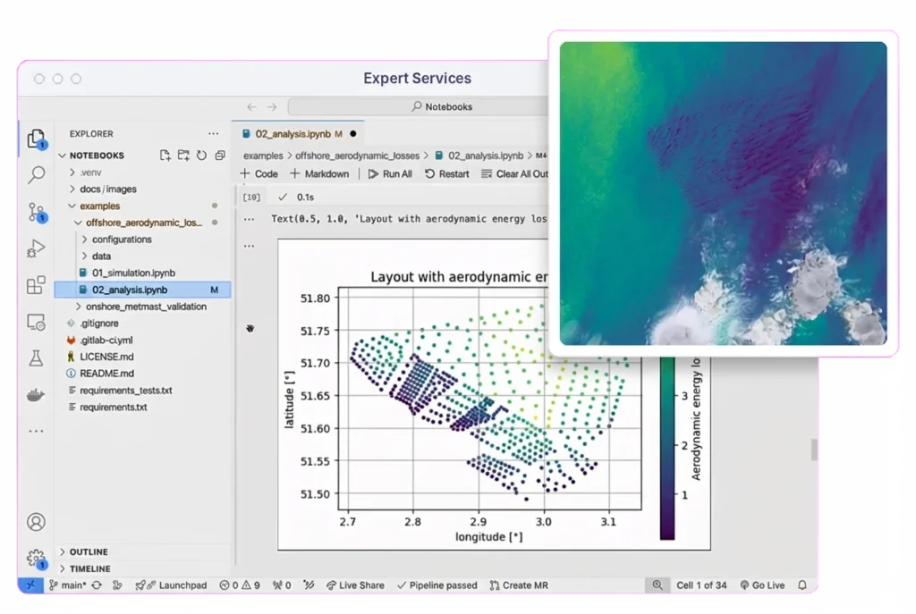
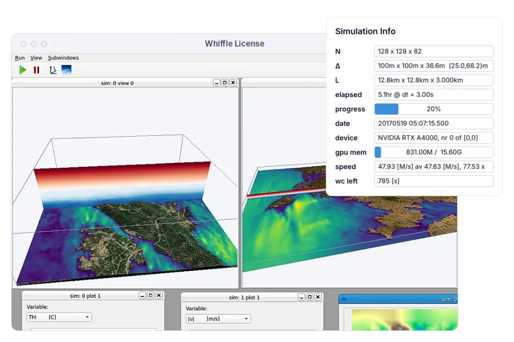
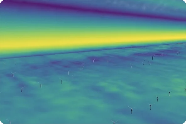
Whiffle combines large-scale weather data with high-resolution LES to capture how wind, turbulence and emissions interact with airport infrastructure, supporting design, environmental and operational assessments.

Capture how terrain, terminals and hangars influence wind, gusts and turbulence around runways, aprons and other operational areas.

Model how airborne pollutants disperse under changing atmospheric conditions, or compare how proposed layouts affect local airflow.

Reconstruct historical conditions or use forecast inputs in GPU-accelerated LES simulations, with turnaround times suited to project-based assessments.
Yes. Whiffle can represent existing infrastructure and proposed layouts to investigate how terminals, hangars and other structures affect local wind, turbulence and dispersion. Different configurations can be compared under specified weather conditions.
Yes. Whiffle's LES model can simulate how gases and airborne particles disperse under changing wind and atmospheric stability conditions. With suitable emission-source data, simulations can help investigate concentration patterns and potential exposure hotspots around aprons, terminals and surrounding areas.
Yes. Historical weather data can drive simulations of specific periods or events, including severe weather. This allows local atmospheric conditions to be reconstructed for incident investigations, infrastructure assessments and resilience studies.
Whiffle can run high-resolution atmospheric simulations using forecast weather inputs. Airport-specific operational applications, such as crosswind or icing-related decision support, depend on the required variables, update frequency and integration with existing systems.
Requirements depend on the application. Typical inputs include the airport location, terrain and land-cover data, existing or proposed infrastructure, and the specific engineering or operational question. Dispersion studies additionally require information about emission sources.
Whiffle Expert Services provides bespoke simulations and analysis for specific airport challenges. Organizations with their own modeling teams can also explore Whiffle License to run LES on supported GPU infrastructure.
Talk to us about the airport, operational or design question you're working on, and we'll assess how high-resolution atmospheric modeling can support it.
Meter-scale weather simulation for the sectors where weather drives decisions.
Peer-reviewed papers and technical reports
Articles and perspectives from our team
Conferences, webinars and on-demand recordings
Technical guides for the Whiffle platform
Get help from our team
Atmospheric science and Whiffle news in your inbox
Explore simulations from wind farms to city streets