
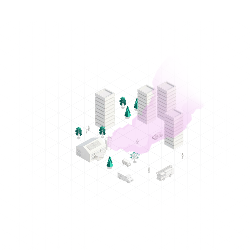
Simulate wind, turbulence and hazardous substance dispersion at the scale where they affect CBRN response, UAV operations and electromagnetic wave propagation.
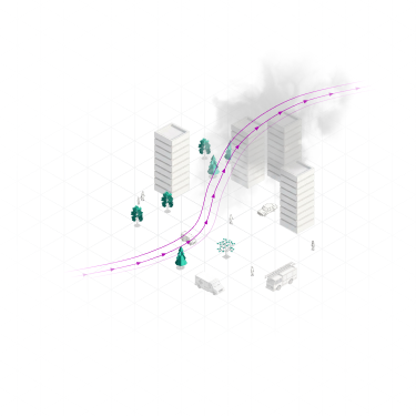
Buildings, terrain and fine-scale weather phenomena influence local wind, turbulence and the dispersion of hazardous substances.
Regional forecasts provide the broader weather picture but cannot resolve many of these local effects. These local effects shape how hazardous substances disperse, the turbulence UAVs encounter and the atmospheric conditions affecting electromagnetic wave propagation.
Understand how hazardous substances disperse through urban environments and complex terrain under different atmospheric conditions, supporting hazard assessment and response planning.
Assess how local wind, turbulence and changing atmospheric conditions may affect UAV routes, flight performance and operational feasibility.
Investigate the local atmospheric conditions that may affect electromagnetic communication, transmission and high-energy laser performance.
Choose how you want to use Whiffle for your project.
Our atmospheric scientists and engineers scope, run and analyze simulations for your case.
Give your in-house experts the model to run bespoke cases on your own infrastructure.
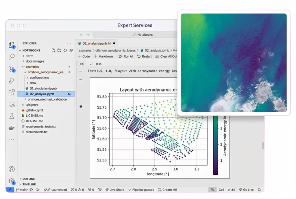
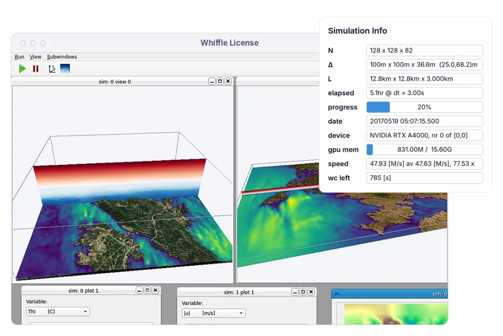
Whiffle combines Large-Eddy Simulation (LES) with GPU-native computing to deliver detailed simulations at practical speeds. For organizations with specific security requirements, the technology can also be deployed on customer-controlled infrastructure.

Capture wind, turbulence, clouds and local flow structures that coarser weather models cannot explicitly resolve, including variations across operating areas and heights.

Represent specific terrain, buildings and release locations to investigate conditions relevant to UAV operations, hazardous substance dispersion and other defense applications.

Run computationally demanding LES simulations within practical timelines, making high-resolution atmospheric modeling feasible for scenario analysis and operational planning.
Whiffle produces high-resolution atmospheric data for use in external systems and analysis workflows. Outputs and interfaces can be tailored to the requirements of each application.
Whiffle License supports deployment on customer-controlled GPU infrastructure. Specific security, network and data-handling requirements are assessed during technical scoping.
Whiffle can simulate historical weather conditions, as well as operational forecasts and configured scenarios. The suitability for time-sensitive applications depends on the required resolution, domain size and simulation turnaround time.
Whiffle LES has been benchmarked against real-world measurements, particularly in wind energy applications. For defense use cases, validation requirements depend on the scenario and the atmospheric variables being assessed.
We start with the operational question, area of interest, required atmospheric variables and available input data. Our team can then assess the appropriate simulation setup, outputs and deployment approach.
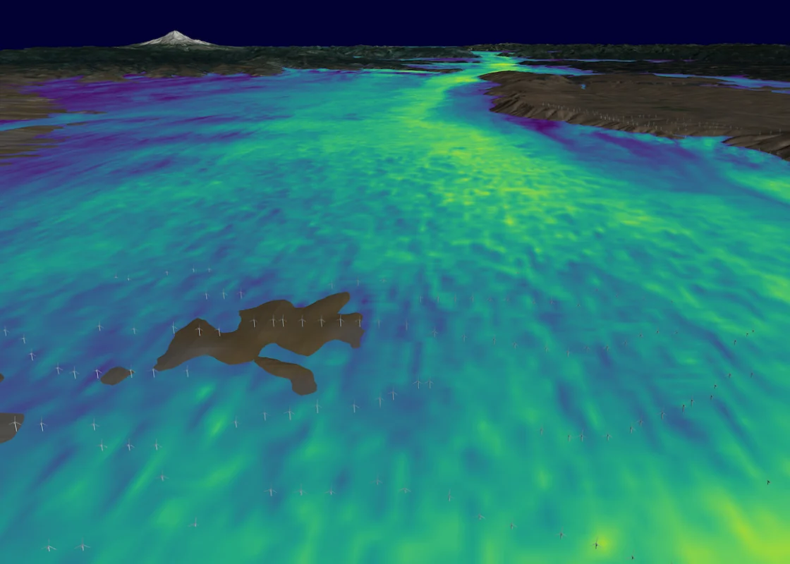

Learn how LES resolves turbulence and local flow within changing weather conditions.
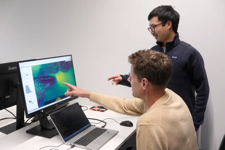
For custom defense applications, work directly with Whiffle scientists and engineers to define and run the right modeling approach.
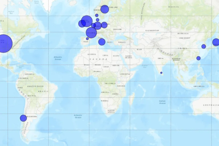
Explore research and applications showing how high-resolution atmospheric modeling is used to investigate real-world flow and transport.
Tell us what you're trying to understand, predict or plan for. We'll assess whether Whiffle can model the conditions that matter and what approach would be appropriate.
Meter-scale weather simulation for the sectors where weather drives decisions.
Peer-reviewed papers and technical reports
Articles and perspectives from our team
Conferences, webinars and on-demand recordings
Technical guides for the Whiffle platform
Get help from our team
Atmospheric science and Whiffle news in your inbox
Explore simulations from wind farms to city streets