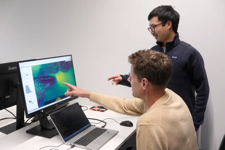
Model how wind, turbulence and hazardous substances behave around urban areas, infrastructure and designated zones, supporting emergency response, environmental planning, weather services and wind farm tenders.
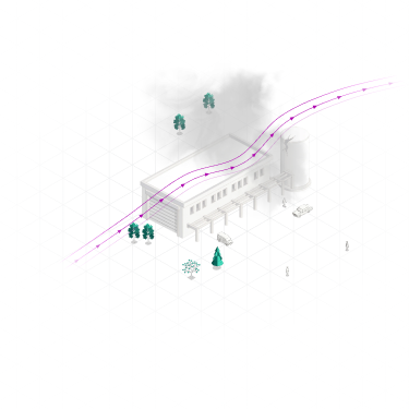
Weather observations and regional weather models provide essential information for public-sector planning and operations. But they cannot always represent what happens around individual buildings, through urban streets or across complex terrain.
At these scales, local airflow and turbulent mixing can influence pollutant concentrations, hazardous plume movement and wind exposure. Understanding these effects requires modeling beyond the resolution of conventional weather datasets.
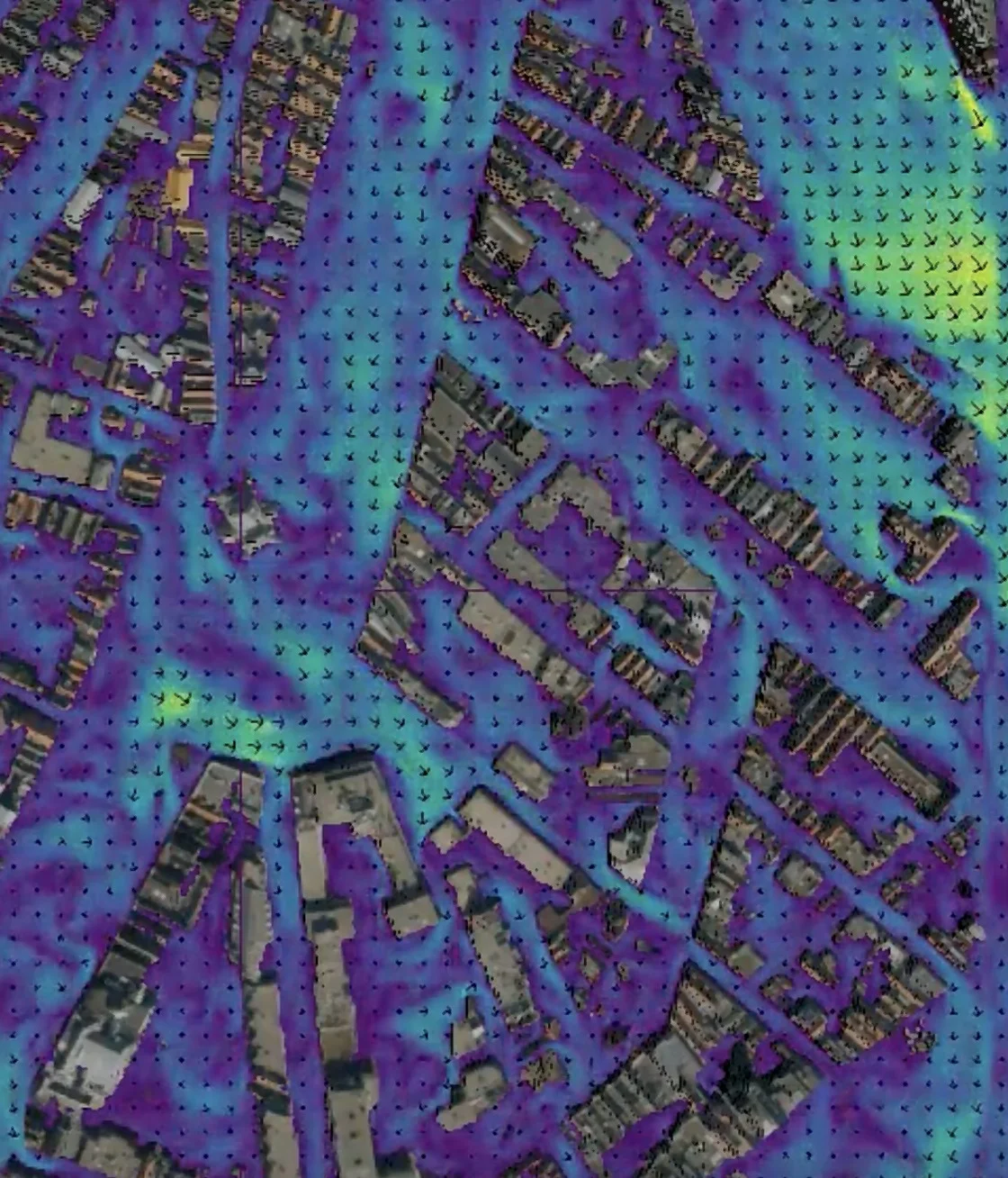
Understand how weather conditions interact with urban areas, infrastructure and emissions to provide additional context for decisions where local conditions matter.
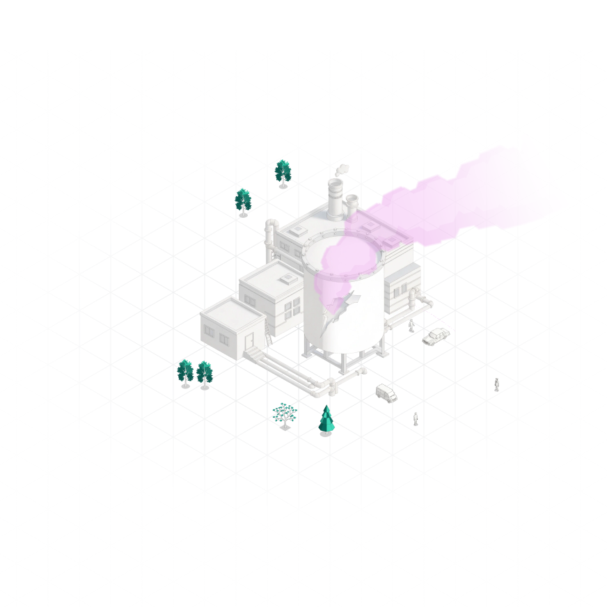
Simulate how hazardous substances, wildfire smoke or releases from an industrial incident are transported and dispersed under changing weather conditions. Resolve how the plume interacts with terrain and infrastructure to provide more localized atmospheric information for response planning.
Simulate how wind and emissions move through existing or planned urban environments, and how buildings and infrastructure influence local airflow and pollutant concentrations. Use these insights to assess wind conditions and air quality during urban design, planning and permitting.
Apply high-resolution Large-Eddy Simulation (LES) to selected locations or applications alongside existing global and mesoscale forecasting systems, providing additional detail where terrain, buildings and infrastructure influence local conditions.
Characterize wind resource and turbulence conditions across a designated tender area before bidding begins, providing participating developers with a common atmospheric dataset for site assessment and subsequent project development.
Whether you need a one-off assessment or ongoing modeling capabilities, Whiffle offers two ways to apply LES to your organization's requirements.
Work directly with Whiffle's atmospheric scientists on a specific challenge, from hazardous-release scenarios and urban airflow studies to bespoke weather assessments. We manage the simulation setup, analysis and delivery of results.
License Whiffle's LES modeling platform to conduct simulations in-house. Configure domains, weather conditions and physical environments for your applications, with access to Whiffle's modeling capabilities and technical expertise.
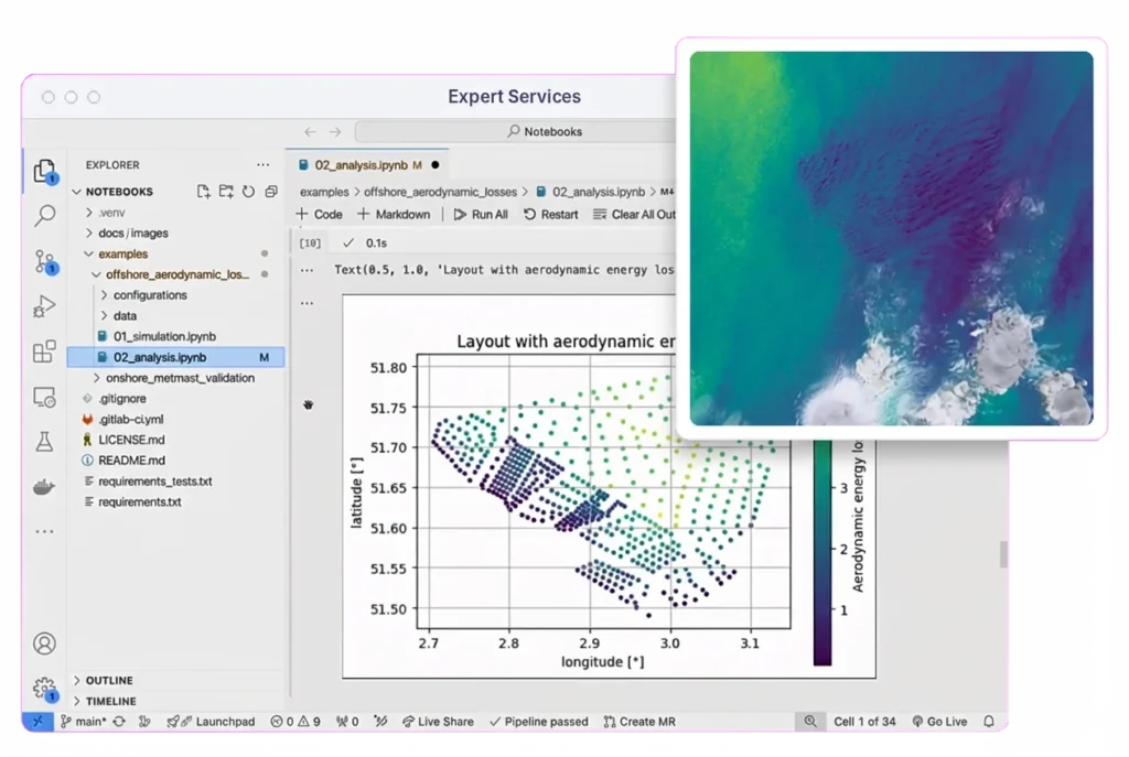
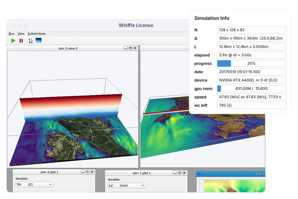
Whiffle combines large-scale weather data with GPU-accelerated LES, making high-resolution modeling practical for public-sector planning, assessment and selected operational applications.

Represent how buildings, infrastructure and complex terrain influence wind, turbulence and dispersion, including effects that regional weather models cannot explicitly resolve.

Reconstruct past events or investigate proposed developments and hypothetical releases under realistic weather conditions, comparing how different scenarios affect the results.

Run computationally demanding LES simulations within project-relevant timescales, supporting applications beyond traditional research studies.
Whiffle can add high-resolution atmospheric modeling for specific locations and applications where terrain, buildings and infrastructure influence local conditions. It is designed to complement larger-scale weather models rather than replace them.
Yes. Whiffle can simulate how gases, particles and other airborne substances are transported and dispersed under changing weather conditions, including their interaction with terrain and the built environment.
Yes. Simulations can represent existing environments or proposed configurations, allowing the atmospheric effects of changes to buildings or infrastructure to be assessed before construction.
Yes. Historical large-scale weather conditions can be used to simulate local atmospheric conditions for a particular period, supporting analysis of past dispersion or wind events.
Whiffle offers bespoke simulations and technical support through Expert Services. Organizations with in-house modeling expertise can also explore licensing the Whiffle LES modeling platform for their own applications.
Whiffle can provide high-resolution atmospheric data to support environmental and technical assessments. Whether the results meet specific regulatory requirements depends on the application, modeling methodology and applicable standards.
Whether you're assessing a hazardous release, urban air quality, local weather conditions or a wind-energy tender, talk to us about the question you need to answer.
Meter-scale weather simulation for the sectors where weather drives decisions.
Peer-reviewed papers and technical reports
Articles and perspectives from our team
Conferences, webinars and on-demand recordings
Technical guides for the Whiffle platform
Get help from our team
Atmospheric science and Whiffle news in your inbox
Explore simulations from wind farms to city streets