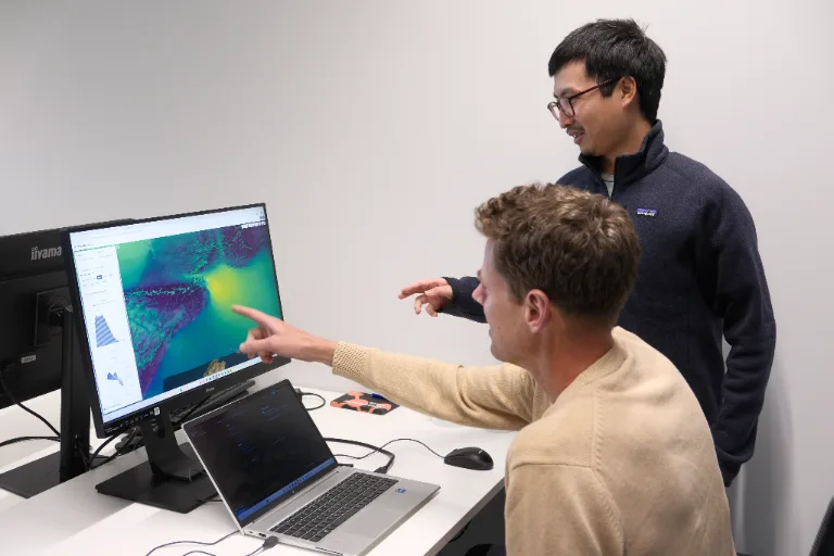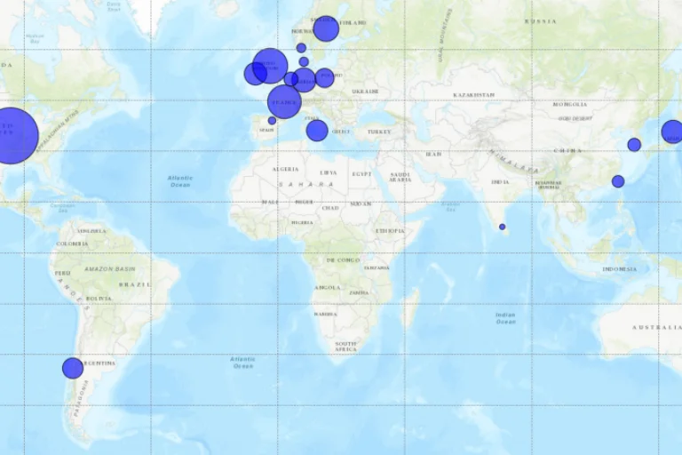
See how weather varies across insured locations and over time, with high-resolution atmospheric data and modeling to support underwriting, claims analysis and parametric insurance.
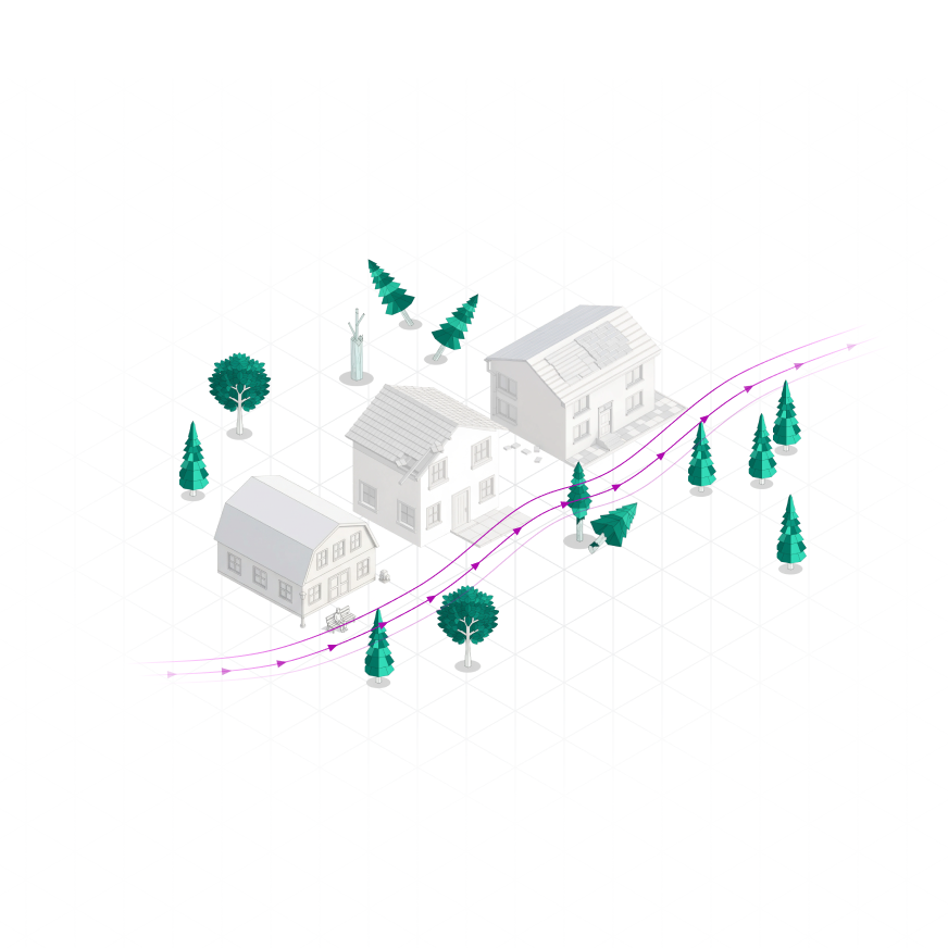
The conditions associated with a weather event can vary substantially over short distances. Yet risk and claims workflows often rely on observations or model data representing a much larger area.
That gap matters when decisions depend on the conditions at a particular property or asset: before an event, when assessing risk, and afterwards, when establishing what occurred.
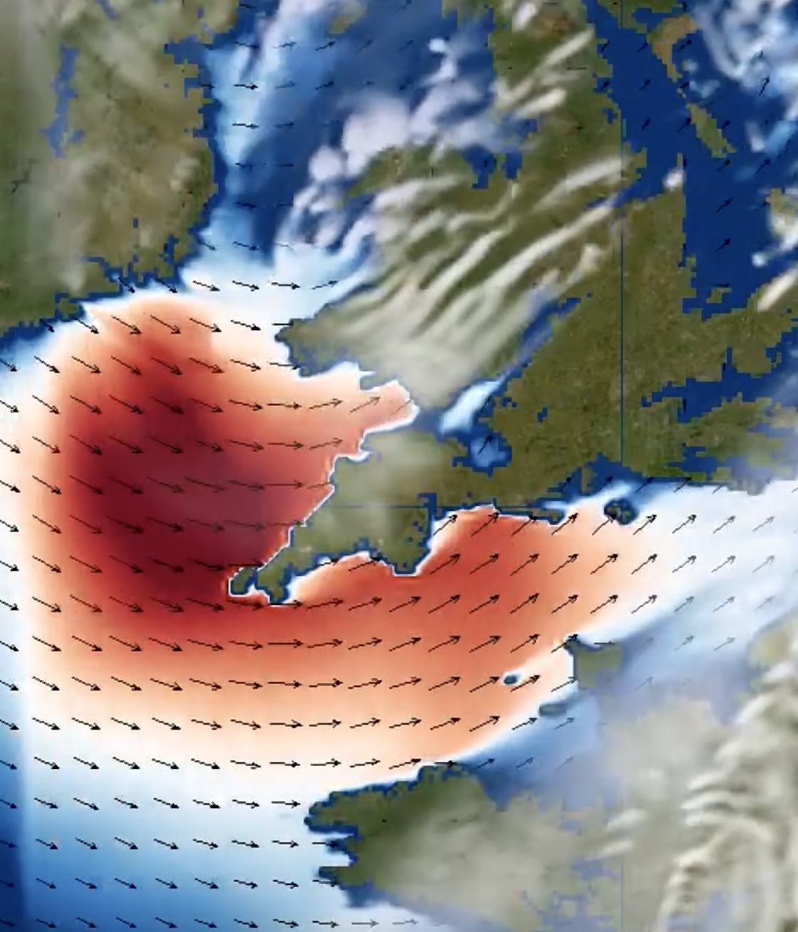
From assessing long-term exposure to reconstructing individual events, Whiffle provides detailed atmospheric data to support insurance analysis.
Use detailed historical weather data to examine how exposure varies between insured locations, including differences that regional datasets may not capture. Support underwriting and portfolio analysis with a more location-specific understanding of atmospheric conditions.
Assess how extreme weather conditions vary across larger areas. Establish a more detailed picture of intensity and spatial extent to support risk and loss assessment.
Use historical, location-specific weather data to investigate the conditions underlying a proposed index. Reconstruct past events to support retrospective assessment of weather triggers, particularly where nearby observations may not adequately represent the insured location.
Characterize long-term wind conditions and their variability to assess the weather-driven component of generation risk. Use site-specific wind data to support the evaluation of wind-yield insurance products.
Choose how you want to use Whiffle for your project.
Our atmospheric scientists deliver tailored simulations to assess site-specific weather conditions, exposure and risks beyond standard modeling approaches.
Give your in-house experts the model to run bespoke cases on your own infrastructure.
Simulate historical weather events, access long-term wind data and perform energy yield calculations.
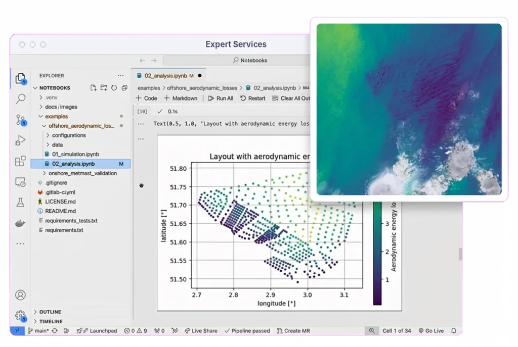
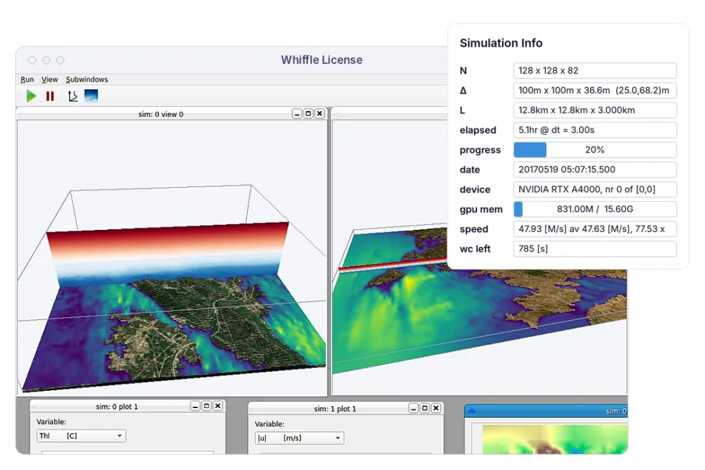
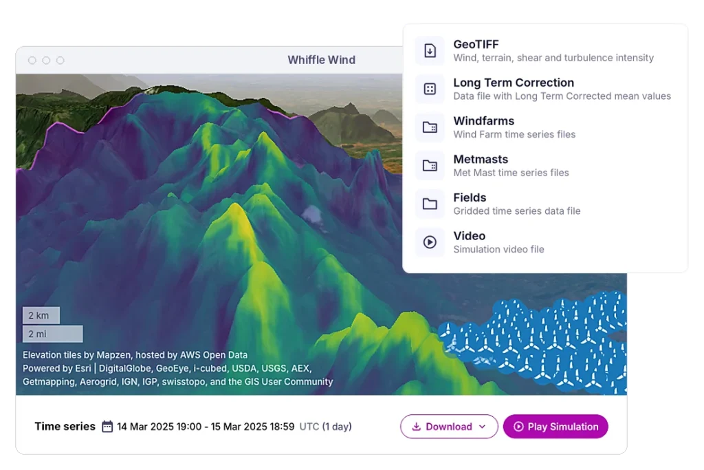
Whiffle combines full-physics Large-Eddy Simulation (LES) with GPU-native computing to make detailed atmospheric modeling practical for insurance applications, from historical weather analysis to event reconstruction.

Represent how weather conditions vary between individual locations, including differences that can be missed when relying on regional models or the nearest weather station.

Simulate historical atmospheric conditions using the weather patterns that occurred at the time. Investigate how an event developed across the local environment, including areas where direct observations are limited.

GPU-accelerated LES makes detailed atmospheric simulations feasible across large domains and time periods, supporting targeted event investigations and location-specific weather risk analysis.
Storms Austen and Boelo passed over the North Sea in quick succession. Using a nested mesoscale-to-LES setup, Whiffle simulated both events from the synoptic scale down to individual turbines at the planned IJmuiden Ver Gamma wind farm, modeled with 134 IEA 15 MW reference turbines.
The mesoscale simulation resolves the frontal systems driving the storms. The nested LES then resolves hub-height wind speed and power output per turbine. At each storm peak, wind speeds exceed cut-out and the farm drops from rated power to zero. For insurers and risk analysts, this level of detail helps assess how extreme weather events translate into production losses and potential financial exposure.
Whiffle provides high-resolution atmospheric information that can complement regional weather data, observations and existing catastrophe models. It can help characterize local weather conditions at individual exposures, while hazard-specific impact and loss modeling remain separate parts of the insurance assessment.
Yes. Whiffle can simulate historical atmospheric conditions using the large-scale weather patterns that occurred during an event. This provides a spatially continuous view of local conditions, supporting retrospective weather analysis and claims investigations.
Whiffle can model how regional weather interacted with the local environment, rather than relying solely on measurements from the nearest station. This is particularly useful where terrain, coastlines, land cover or buildings influence weather conditions over short distances.
Whiffle can provide weather data across multiple locations, supporting comparisons of exposure within a portfolio. The appropriate modeling approach depends on the geographic coverage, historical period, resolution and weather variables required.
Historical atmospheric simulations can help characterize the weather variables underlying a proposed index, while event reconstruction can support retrospective analysis. The suitability of modeled data for formal trigger verification or settlement depends on the policy methodology and agreed data requirements.
Whiffle models atmospheric variables including wind and related flow conditions. Available variables, spatial resolution and historical coverage depend on the modeling configuration and application. Other hazards and impacts may require additional specialist models.
Talk to Whiffle about the exposure, event or insurance application you're assessing, and the atmospheric modeling needed to support it.
Meter-scale weather simulation for the sectors where weather drives decisions.
Peer-reviewed papers and technical reports
Articles and perspectives from our team
Conferences, webinars and on-demand recordings
Technical guides for the Whiffle platform
Get help from our team
Atmospheric science and Whiffle news in your inbox
Explore simulations from wind farms to city streets